



Julian May Become Super Typhoon; Batanes Under Signal No. 4
Tropical cyclone wind signals and heavy rainfall warnings have been issued as Typhoon Julian intensified as it moved closer to Batanes on Sunday, Sept. 29.
Tropical cyclone Julian further intensified into a typhoon on Sunday afternoon, Sept. 29, hours after it developed into a severe tropical storm, and may turn into a super typhoon, according to the Philippine Atmospheric, Geophysical and Astronomical Services Administration.
As of 8 p.m. on Sunday, the center of the eye of Typhoon Julian was estimated based on all available data at 190 kilometers east northeast of Calayan, Cagayan or 150 km east southeast of Basco, Batanes with a maximum sustained winds of 140 km/h near the center and gustiness of up to 170 km/h as it moves northwestward at 15 km/h.
PAGASA senior weather specialist Glaiza Escullar warned that Tropical Cyclone Wind Signal No. 4 may be hoisted in extreme Northern Luzon once Julian becomes a super typhoon.
“Once Typhoon Julian approaches near Taiwan, it may reach the super typhoon category... Once it reaches super typhoon, we will raise wind signal number 4 in extreme Northern Luzon, particularly Babuyan Islands and Batanes,” Escullar said.
The state weather bureau said Signal No. 4 was hoisted over Batanes as of 8 p.m. on Sunday as well as the northern portion of Babuyan Islands as of 5 a.m. today, Sept. 30; Signal No. 3 over the rest of Babuyan Islands and the northeastern portion of mainland Cagayan; Signal No. 2 over the rest of mainland Cagayan, Apayao, and Ilocos Norte and Signal No. 1 over Ilocos Sur, La Union, Pangasinan, Abra, Kalinga, Ifugao, Mountain Province, Benguet, Isabela, Nueva Vizcaya, Quirino, Aurora, northern and eastern portions of Nueva Ecija and Polillo Islands.
Under PAGASA’s TCWS super typhoon is declared if the weather disturbance has sustained winds of 185 km/h; typhoon, 118 to 184 km/h; severe tropical storm, 89 to 117 km/h; tropical storm, 62 to 88 km/h and tropical depression less than 61 km/h.
At a separate press briefing, PAGASA weather specialist Veronica Torres said Signal No. 3 has
“It is possible that Typhoon Julian will make landfall over Batanes or Babuyan Islands on Monday (Sept. 30),” Torres said.
She added that Julian would bring severe winds in Aurora, Calabarzon, Romblon, Bicol, Pangasinan, Zambales, Bataan, Aurora and Quezon.
“Forecast rainfall are generally higher in elevated or mountainous areas. Flooding and rain-induced landslides are possible,” Torres said.
She added that gale warning has been raised over Batanes; Cagayan, including Babuyan Islands; northern coast of Ilocos Norte and Isabela as she warned of waves as high as 5.5 meters.
Intense to torrential rains or up to 200 millimeters of rains are expected in Batanes and Babuyan Islands and heavy to intense rains or 100-200 mm of rains in mainland Cagayan, Ilocos Norte, Ilocos Sur, Abra, La Union, Apayao, Mountain Province and Benguet, according to the PAGASA weather specialist.
Julian is expected to exit the Philippine area of responsibility late Wednesday, Oct. 2, or early Thursday, Oct. 3, according to Escullar.
PAGASA said Julian is forecast to move generally west-northwestward to northwestward until tomorrow morning toward the Batanes-Babuyan Islands area before accelerating north to north-northeastward over the waters east of Taiwan on Tuesday afternoon, Oct. 1, onwards.
The state weather bureau added that Julian is forecast to continue intensifying over the next 24 to 36 hours as it moves toward Batanes or Babuyan Island.
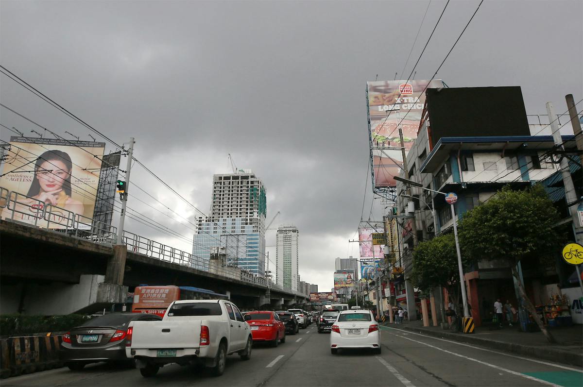
Meanwhile, Metro Manila will experience cloudy weather and up to moderate rains brought by Julian’s trough, according to Escullar.
“As we are already in the transition period, Julian will no longer enhance the southwest monsoon,” Escullar said.
PCG on alert
Following these developments, the Philippine Coast Guard (PCG) District Northwestern Luzon (DNWL) has been placed on “alert” and prepared its personnel and assets for possible de-ployment to immediately respond to situations caused by Julian.
In a Facebook post, the PCG DNWL, which covers the provinces of La Union, Pangasinan, Ilocos Sur and Ilocos Norte, reported that its commander Commodore Ivan Roldan had already ordered the prepositioning of its personnel and assets in the event that it needs to conduct search and rescue operations because of Julian’s effects.
“PCG personnel in all ports throughout the region are on alert status to immediately respond to any eventuality that may be caused by the tropical cyclone,” the PCG DNWL said.
It added that all essential first-aid and rescue equipment, along with radio communication devices, are fully operational and ready for use in case of any emergencies.
“This is to ensure the safety and security of people within their areas of responsibility,” the PCG DNWL said.
It also gave assurance that they have stationed personnel in every port to quickly respond to any emergency.
Roldan had also given instructions to its sub-stations to coordinate with their respective local governments and constituents in case there is a need to evacuate and rescue residents.
The PCG DNWL also shared the hotline numbers and their sub-stations in its social media account. – With Evelyn Macairan


