

Carpio: 1875 Map Proves Philippines’ Claims To WPS
In his lecture, Carpio explained the said map was “the most complete and detailed map of the Philippine territory during the Spanish regime.”
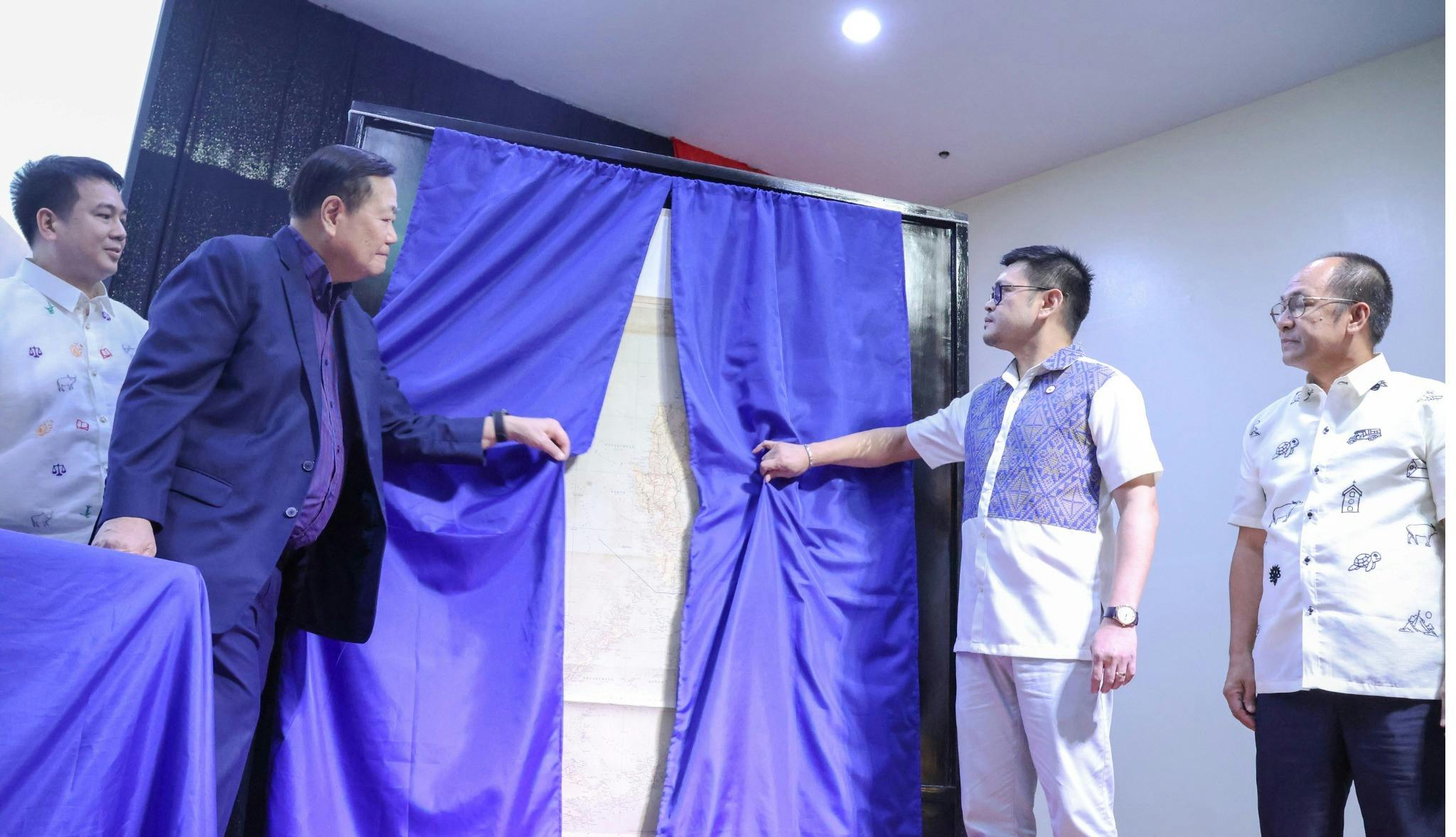
A long lost historical map of the Philippines backing its claim over disputed waters in the West Philippine Sea has been found and turned over to the Philippine government.
Retired Supreme Court senior associate justice Antonio Carpio on Thursday, March 19, formally donated a copy of the 1875 Carta General del Archipielago Filipino to the National Library of the Philippines, received by director Cesar Gilbert Adriano.
In his lecture, Carpio explained the said map was “the most complete and detailed map of the Philippine territory during the Spanish regime.”
It was produced after the expedition of two ships by Capt. D. Claudio Montero, the first head of the Philippine Hydrographic Commission during the Spanish period that performed depth soundings around the country.
He added the Spanish fleet “exchanged notes” with British forces also surveying the edges of Palawan and Mindanao with the goal of maintaining safe navigation of the seas, resulting in the concise details in the map.
The 1875 map illustrated Scarborough Shoal, also called Panatag Shoal and Bajo de Masinloc, inside Philippine territory alongside the 1734 Murillo-Velarde map and the 1808 Carta General. They all called Scarborough Shoal “Panacot.”
“So it cannot be disputed that Panacot is Scarborough Shoal,” he maintained.
It also included the Kalayaan Island Group or the Spratly Islands, particularly Thitu or the current Pag-asa Island, found both at the edge of the 1875 map, as well as the maps produced by the National Mapping and Resource Information Authority, as part of the Philippines.
While the Philippines “hardly know” Montero, the country “(owes) him a debt of gratitude because the map that he made is critical for establishing our sovereignty over the Scarborough Shoal and the Kalayaan Island Group,” Carpio noted.
The said map was also used by American forces who later conquered the country, producing four versions for their use. The last version issued in 1902, said to be the only one to exist, was the one Carpio bought from a collector in Cebu and later donated to the National Library.
He recalled he could not find any copy of the 1875 map from libraries and museums, both public and private, until he was told most map records in the National Museum of the Philippines could have been destroyed during World War II.
Also deposited in the National Library’s permanent gallery for public viewing are copies of the 1734 Murillo-Velarde map and the one attached to the 1898 Treaty of Paris.