



Rocket Launch? Satellite-Derived Data Helpful In Disaster Management, Governance – PhilSA
Some of the satellite-derived data the Philippine Space Agency has shared include the 7.8-magnitude earthquake that struck Mindanao in June. PhilSA could also provide images before, during and after the supposed completion of flood control projects.
“We are launching a rocket into space.” President Marcos’ statement during his State of the Nation Address on July 27 drew mixed reactions from Filipinos who insisted that government prioritize urgent needs while suddenly being conscious about space science.
The Philippine Space Agency (PhilSA), attached to the Office of the President and created in 2019 to manage the country’s space program and ensure their alignment in national policies and priorities, said the President was referring to a “sounding rocket test launch” in Cagayan province in 2027.
PhilSA explained: “The sounding rocket test launch shall be a demonstration flight of a liquid-fueled rocket from the Philippines, carrying a locally developed payload weighing up to two kilograms to an altitude of at least five kilometers.”
The agency said this will “help advance the Philippines’ launch capabilities, develop Filipino expertise in rocket technologies, and prepare for future space launch activities.”
A two-kilogram payload is a device carried by spacecraft or rocket to be flight-tested using liquid fuel to thrust the payload to a height of five kilometers into space to observe the earth.
Joining the PhilSA in this project are the Department of Information and Communications Technology and the Cagayan Economic Zone Authority, in partnership with Ascend International Gateway, Inc., a Philippine company doing airport operations and management, and Perigee Aerospace, Inc., a South Korean company developing high-performance launch vehicles, propulsion systems and spacecraft components.
Phl in space race since 2016
This “rocket launch” is not the first for the country. In April 2016, the Philippines blasted into orbit its first Filipino-built “eye in the sky” microsatellite called Diwata-1, a 50-kilogram imaging and earth observation satellite.
Its first mission was to take evidentiary images of the destruction caused by Typhoon Haima (or Lawin) that struck northern Philippines on Oct. 20, 2016.
In October 2018, Diwata-2 microsatellite was deployed next, followed by the six smaller microsatellites called Maya, launched successively from 2018 to 2023.
These space ventures were a result of the reflections of scientists under the Development of the Philippine Scientific Earth Observation Microsatellite (PHL-Microsat) Program who reflected on the devastation caused by Super Typhoon Haiyan (or Yolanda) in November 2013.
They thought about science-based tools such as cable systems, remote sensing technology and scientific cameras that could have lessened the damage, helped communities prepare and guided responders.
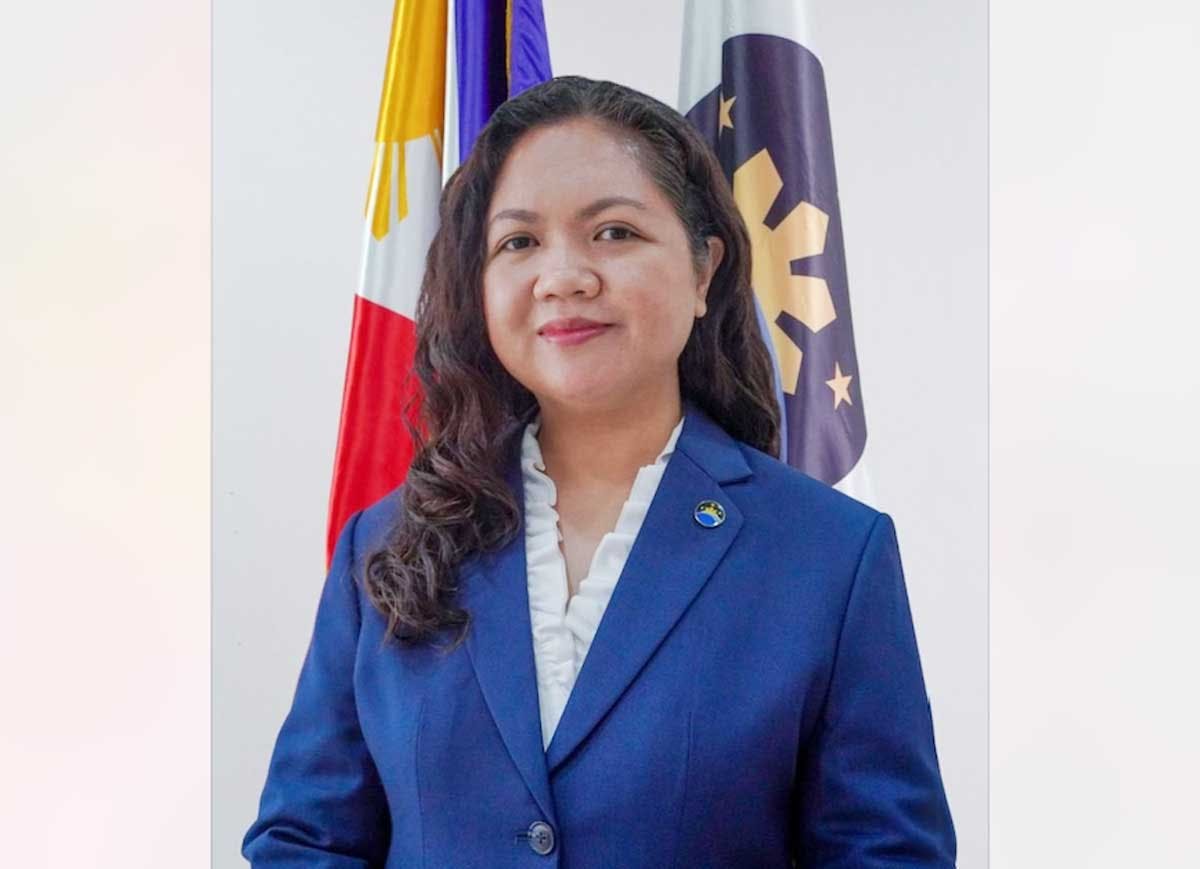
One of the scientists is now the director-general of PhilSA since 2021 – Dr. Gay Jane Perez – a professor at the University of the Philippines Diliman College of Science’s Environmental Science and Meteorology Department, who also led the PHL-Microsat program under the Department of Science and Technology (DOST) that launched Diwata-1 in 2016.
Perez heads a mostly young staff of more than 250, with expertise in all kinds of sciences such as geology, chemistry, biology and electrical and mechanical engineering.
Space science in earthquakes, typhoons and flood control
“Most of the microsatellites are still in orbit doing their missions of earth observation, data gathering, environment sensing, tracking and monitoring,” Perez said.
“Wide-area coverage satellite data is helpful in providing information and is crucial in providing a faster turn-around in decision-making that is critical in the country’s disaster management capabilities,” she noted.
Some of the satellite-derived data that PhilSA has shared include the 7.8-magnitude earthquake that struck Mindanao last June, noting the most damage in four coastal barangays and three coastal municipalities in General Santos City, Sarangani and South Cotabato.
In April, PhilSA shared advisories on air quality from the Navotas landfill fire and the oil spill extent in Manila Bay to the National Disaster Risk Reduction and Management Council and affected localities.
As to the ongoing investigation into flood control projects, PhilSA’s satellite data could provide images before, during and after the supposed completion of flood control projects.
“We received a subpoena from the Office of the Ombudsman to help in their investigation,” said Perez, but stopping not to divulge more information.
“The ongoing probe into the flood control projects would determine if infrastructure projects declared completed were indeed finished and the budget was used appropriately,” Perez said.
Perez said PhilSA is encouraging the youth to take interest in space science. “It’s exciting and interesting,” she said.
“Space science is a peaceful but indispensable tool in safeguarding our maritime domain, addressing climate crisis, enhancing food security, and having effective governance through informed decision-making.”


